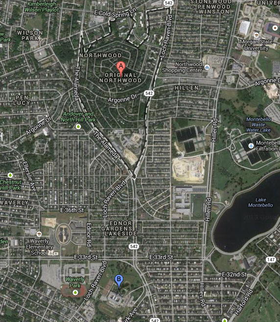
Part of a monthly series of posts highlighting uncovered items of note, and the archival process brought to bear on these items, as we preserve, arrange, and describe the Roland Park Company Archives.
If you could cast yourself back in time, do you think you would be able to recognize the patch of landscape where your childhood home would one day be built? Would you be able to recognize the sapling that would grow into the tree you used to lean your bike against?
Where are you right now? What was in this exact spot 20 years ago? 250? 1,000? Of course, if we play that game long enough, we’ll all be sitting at computers surrounded by primeval goo, wondering how civilization could possibly spring up around us.
The Roland Park Company Archives have yielded a look at what it took to transform the forested areas in the northern sections of Baltimore into the still naturalistic but entirely manmade neighborhoods we see today. One of the great ironies of planned garden suburbs is that nature must be partially destroyed in order to create a “natural feel.” The final products always look quite natural, as anyone who has ever walked through Central Park will tell you, and yet you are surrounded by design. That is a process we can explore.
These photographs from the Roland Park Company Archives are brought together to remind us of a Baltimore not many of us have seen; in fact they feature the natural landscape we would find if we really did pop back 80-100 years or so. These images do not tell the story of one neighborhood or even one time period, but are samples from throughout the history of the company brought together in order to give a preview of what the collection has to offer when it comes to transforming landscapes.
Here is the changing landscape of Baltimore and how the Roland Park Company helped bring it about:
First, compare these two images. To anchor you, focus on the City College of Baltimore, which is the primary structure in the foreground, and then compare the landscapes of the two images. This is the transformation of Original Northwood from woods to homes.

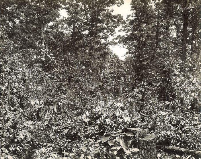
Now, we tread into those woods. Can you spot the surveyor’s stick in this image? Look for the tree stump, and then look up and towards the center of the image. It’s still difficult to find. That surveyor’s stick and the hewn stump are the only evidence of human intervention here in the woods that would one day become Original Northwood.
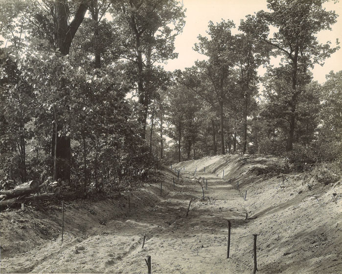
Did you find the stake? Further excavated and cleared, it is now very apparent that roads are about to cut through the landscape.
Here are some photographs from the Roland Park Company Archives of what happens next:
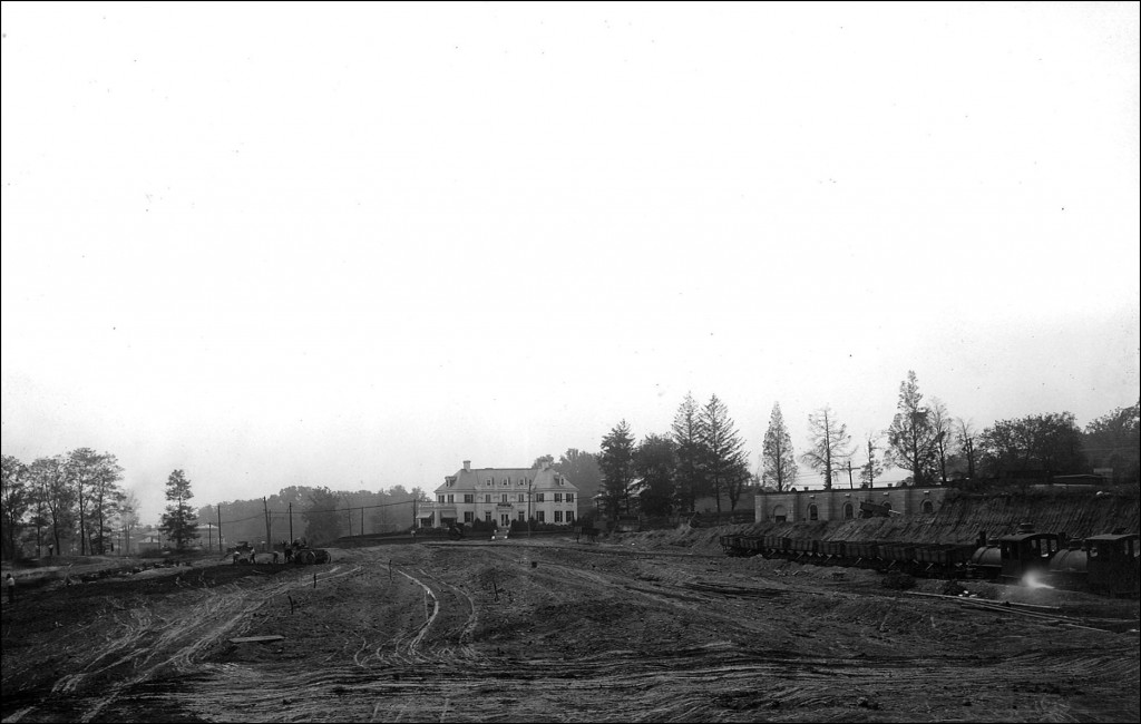
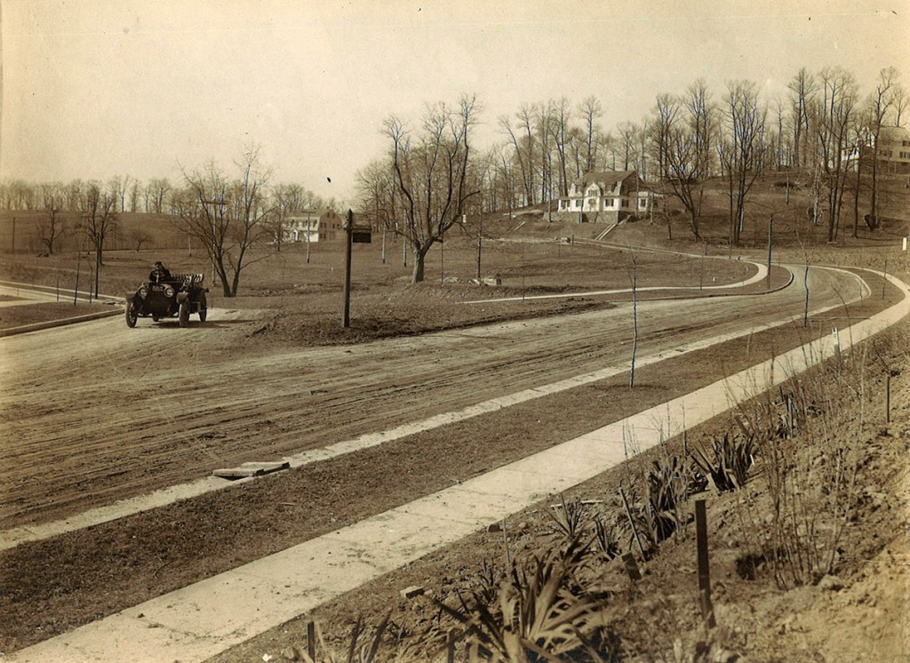
The Roland Park Company Archives have at least one linear foot (a big box) worth of photographs and a number of large folios from approximately the 1890s through the 1950s (and likely beyond), which document everything from groundbreakings, construction (seen above) to the completed facades of homes and lovely curvilinear streets. In all of it, there is transformation.
Everything changes, but archives can help us remember.

