Historically, when Geographic Information Systems (GIS) users collected field data outdoors, they often used paper forms or dragged along a laptop computer and GPS unit to record observations and measurements. Once back on campus, the data were uploaded 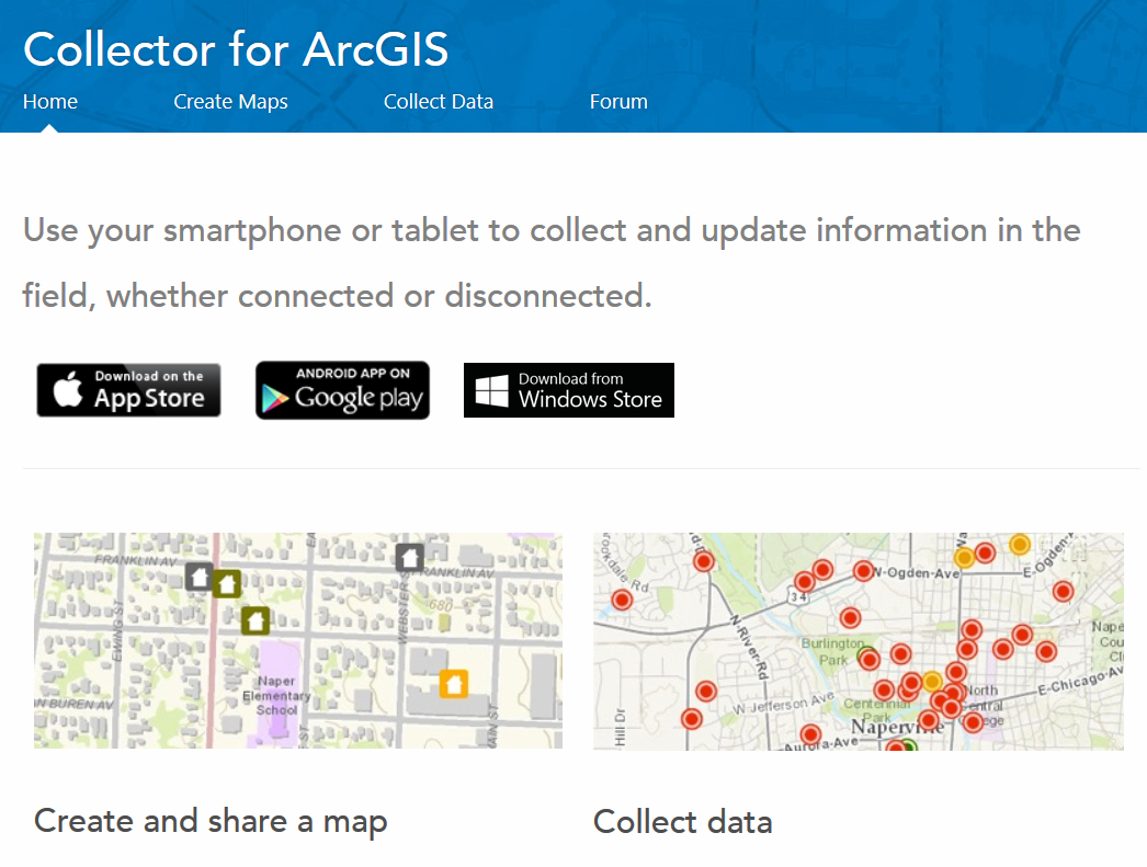 into a GIS project for further analysis. In situations where an entire class went out field collecting, an additional workflow required compiling and editing all the individual submissions.
This past year, the Sheridan Libraries GIS and Data Service began promoting Collector for ArcGIS, a mobile phone based application that offers field data collection that automatically updates GIS maps housed in a library-provided geocloud via ArcGIS Online for Johns Hopkins.
The process is simple. GIS users working on their own, or with a GIS and Data staff member, identify the geographic area where students and faculty will be collecting data and assign a default basemap. The library offers a wide assortment of imagery or terrain basemaps to choose from. The second step involves attaching the basemap to a blank GIS table that will be used to collect variables in the field. The table can include drop down boxes and predefined options to simplify the field data collection process and eliminate errors while thumb typing on a mobile phone. The last step is uploading the GIS basemap, and associated table, to the geocloud area assigned to the class as part of an ArcGIS Online Group.
As students head out to the field they download the free Collector app from the Google Play Store or the Apple AppStore. At the field site, students will see the predefined map and collection table on their phone. While collecting data, GPS coordinates are captured from the mobile device and automatically added to the GIS table and map in the ArcGIS Online geocloud. In cases when field sites are too remote for cellular connections the data are stored locally on the mobile device and uploaded when Internet service is available.
Collector for ArcGIS is one of the newest GIS options available to all Johns Hopkins users. To learn more about Collector take a look at our GIS and Maps guide or send an e-mail to us in GIS and Data Services: GISandData@jhu.edu.