Written by Lena Denis, Geospatial Data, GIS, and Maps Librarian
This summer, I had the privilege of hosting two Baltimore City student employees – Janiya Brown and Tinaya English – through the Johns Hopkins Summer Jobs Program (JHSJP) in partnership with YouthWorks. They worked with me to create educational materials using ArcGIS Online and JScholarship that highlighted how historic maps of Baltimore reveal urban development patterns that impact health and environmental issues for the city’s residents today.
Neither student had previous experience with GIS or with the JHU digital collections site JScholarship. Over the course of the five-week program, they both learned how to consult and critically evaluate maps as primary source materials, as well as how to make their own web maps in ArcGIS Online using public health data from sources such as JHU, the CDC, and Baltimore City government data portals. Lastly, they learned to synthesize these different components in ArcGIS StoryMaps, building interactive presentations containing long-form narratives about what they learned and why they thought the issues they had chosen were important.
Links to both of their projects are listed below. You will need to log into ArcGIS to view them: https://guides.library.jhu.edu/geospatialconcepts/faq
Industrialization in Baltimore City by Janiya Brown
Link to project: https://storymaps.arcgis.com/stories/29945c66e5574c2f96cc2b31d5668903]
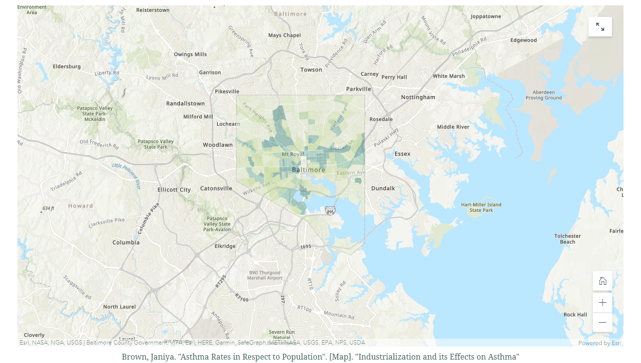
Janiya Brown was interested in investigating asthma rates in Baltimore City. As she recounts in her StoryMap, she has profound personal familiarity with the high rates of asthma in the city, having gone to the ER for an asthma attack as a second grader and learning that the condition was fairly common among her peers. She understood from this young age that a disproportionate number of Black Baltimoreans suffer from asthma compared to White Baltimoreans, and over the course of her work with Data Services, she learned to find and map data about this and other health disparities. She also found maps and investigative journalism articles about the construction of environmentally hazardous facilities in poor areas of the city, which most strongly affect Baltimore’s Black and Brown communities.
Food in Baltimore City by Tinaya English

Link to project: https://storymaps.arcgis.com/stories/a49cd7a1028546478b9c4a515e80b095]
Tinaya English was interested in investigating food access in Baltimore City. Also describing how she chose the topic in her StoryMap, she discusses the differences she notices in availability of fresh, healthy food between her neighborhood in Northeast Baltimore and the neighborhood where many of her family members live in West Baltimore. She set out to investigate the distribution of food deserts in Baltimore City, as well as the distribution of urban farms and who advantages the most from them. She also used historic maps to show the shifting agricultural land use in Baltimore City over time and where the city’s residents congregated most densely, and she combined these observations with data used in web maps to show how Baltimore’s lower-income communities are most affected by health issues associated with a lack of access to healthy food, such as diabetes and hypertension.
I am very grateful for their fresh eyes on our collections, their eagerness to learn and explore complicated health data, and their commitment to highlighting what Data Services has to offer and how we hope to serve the city of Baltimore in and out of the university setting.