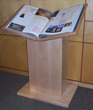
M Level has a remarkable new addition: an eye-popping atlas called Earth.
Earth: The World Atlas, published in Sydney, Australia by Millennium House, has 160 pages of high-quality maps and more than 750 full-color photographs, illustrations, tables, charts and plates. With a three-foot span and beautiful gatefolds that expand to six, you have to check this out for yourself—on the podium, right next to the Reference Office.
 Part I, The World We Live In, discusses modern cartography and satellite imagery alongside pictures and descriptions of the planet’s landforms, wildlife, climates, flora and fauna, societies, and systems of communication.
Part II, Countries of the World, has maps, more beautiful photographs, and text about every country and other political entity in the world.
The countries are arranged by continent and are not alphabetical. Therefore, you should carefully turn the massive pages to the beginning and find the Table of Contents to see how the book is laid out.
Come and see the glorious colors of cities, mountains, costumes, animals. This a real feast for the eyes!
